

SERVICES

SERVICES
GEOMATICS CONSULTING
Successful geomatics programs begin with careful planning. OGL works with clients to define technical requirements, develop survey specifications, and ensure alignment with project objectives and regulatory standards.
Capabilities include:
-
Survey planning and project specifications
-
Technical advisory for airborne LiDAR and aerial imagery
-
Accuracy standards, QA/QC procedures, and validation
-
Regulatory compliance for infrastructure and environmental programs

SERVICES
AERIAL DATA ACQUISITION
OGL conducts airborne geospatial surveys using fixed-wing aircraft equipped with LiDAR systems and high-resolution aerial mapping cameras.
Our acquisition programs are designed for large-area mapping and linear infrastructure projects, including utility corridors and environmental monitoring initiatives.
Capabilities include:
-
Airborne LiDAR surveys for terrain and infrastructure mapping
-
High-resolution aerial imagery acquisition
-
Simultaneous LiDAR and imagery collection
-
Corridor and large-area survey programs

SERVICES
DATA PROCESSING
OGL processes LiDAR and aerial imagery datasets using integrated workflows to produce accurate, GIS-ready geospatial products.
Our processing pipelines support engineering, environmental, and infrastructure applications requiring reliable and scalable data outputs.
Capabilities include:
-
LiDAR point cloud classification and terrain modelling
-
Orthophoto production and photogrammetric processing
-
Infrastructure and asset modelling
-
Vegetation analysis and corridor monitoring
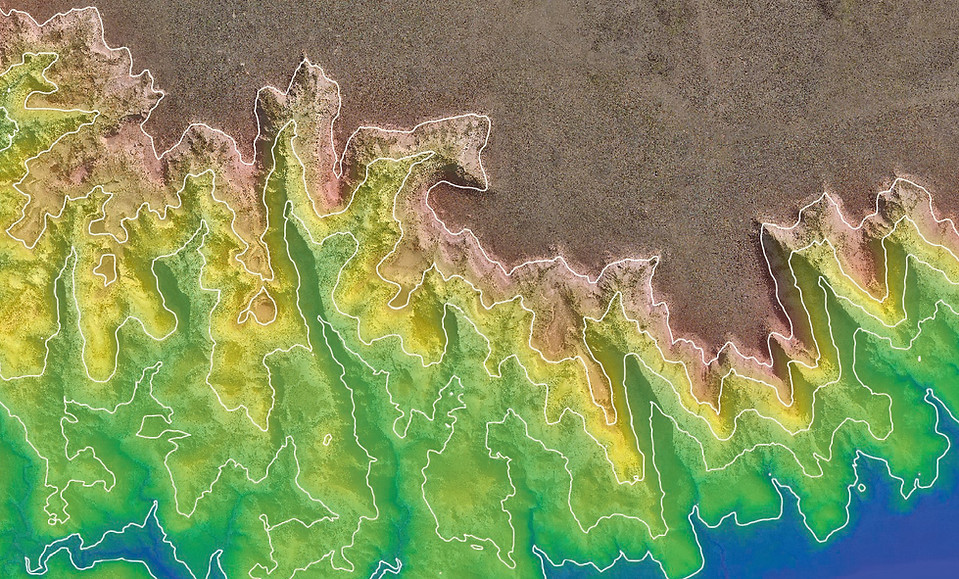
SERVICES
GEOSPATIAL ANALYSIS
OGL transforms LiDAR and imagery datasets into actionable insights through advanced geospatial analysis and modelling workflows.
These services support engineering design, infrastructure monitoring, and environmental assessment by enabling data-driven decision-making.
Capabilities include:
-
Corridor and infrastructure analysis
-
Terrain and surface analysis
-
Vegetation and environmental analysis
-
Custom analysis workflows and modelling